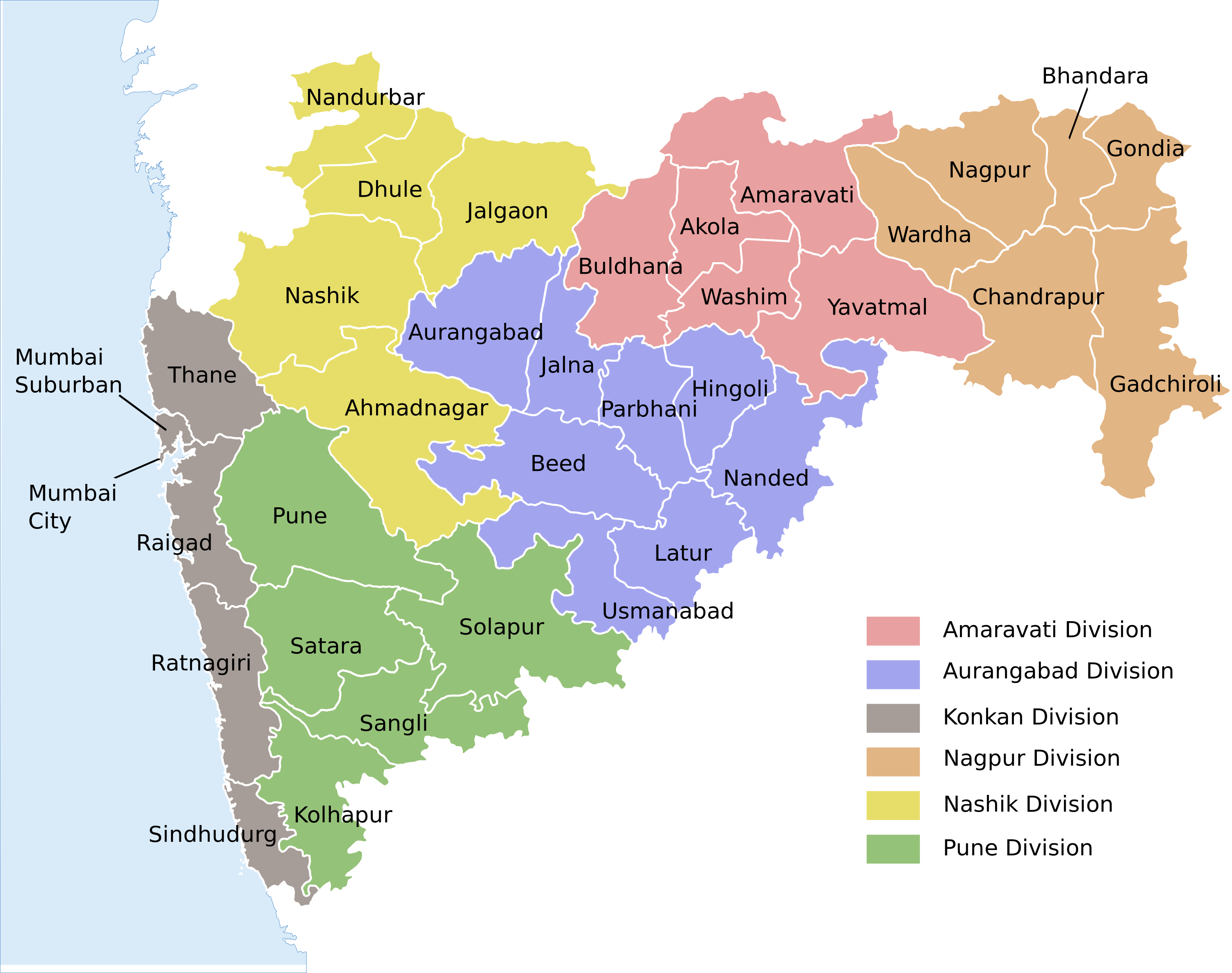
Please find the census maps of all districts of Maharashtra.We have now also included taluka and district boundaries.
Caveats:
1> We have not given urban census data here , thus ‘Mumbai city’ and ‘Mumbai suburb’ districts census data are not yet included. We shall update the same soon.
a> Census data from https://censusindia.gov.in ,including household amenities ,demography and village amenities
b> Datameet village maps from http://datameet.org/ for tentative village boundaries
c> Official source of taluka maps from MRSAC http://www.mrsac.gov.in/en
d>Local government directory from http://lgdirectory.gov.in for latest names and hierarchy of administrative boundaries
3> We have used following opensource software and tools to compile the data
a>qgis version 2.18 with grass plugin
b>postgresql/postgis
c>gimp 2.8
We expect the users to be able to use the shapefiles and associated census data as base data for adding other local layers for visualization and analysis.
We welcome all contributions to the above data , including its quality.
We shall continue to update the above.
Please feel free to send your feedback, criticism and all @swapnilp692@gmail.com.
District and Taluka Boundaries
Part of Department of Computer Science and Engineering, Indian Institute of Technology Bombay, Powai, Mumbai 400 076
Main office : Kanwal Rekhi Building. Tel: +91-22-2576 7901/02. Fax: +91-22-2572 0022